

Achieving a Common Operating Air Picture: The Future of Emergency Response
- NUAIR®

- Nov 18, 2025
- 5 min read
Updated: Dec 10, 2025
Kansas City. February 14th, 2024. A city comes together to celebrate a Super Bowl victory, and the energy is electric. As crowds fill the streets, emergency responders stand ready—supported by an expanding ecosystem of air and ground assets. Within minutes of an unexpected incident, police drones lift off for situational awareness, sheriff’s UAS begin securing the perimeter, news helicopters orbit overhead, and medical helicopters request landing clearance. Even civilian drones enter the airspace, each with its own operator and intent. In moments like this, the question becomes clear:
Who’s coordinating what’s flying where?
How do responders maintain safe, efficient air operations while managing a complex, fast-moving emergency?
This scenario isn't hypothetical anymore. It's history. Welcome to the visibility gap that's undermining emergency response across America.
The Power of a Common Operating Picture (COP)
Before we look up, let's examine what's already working on the ground. The concept of a Common Operating Picture (COP) has revolutionized emergency response coordination for terrestrial operations. A common operating picture is "a display of relevant information, enabling users in command and control to make accurate and informed decisions based on situational awareness."
Think of it as the difference between a dozen people shouting in a crowded room versus everyone reading from the same playbook. A COP means that personnel from all relevant organizations and locations have the same information, thus facilitating collaborative planning and execution of decisions.
The Department of Homeland Security defines it even more precisely: "a continuously updated overview of an incident compiled from data shared between integrated systems." That's bureaucratic language for something beautifully simple: everyone seeing the same data in real time.
Case studies from places like Baton Rouge, Camden County, and Chicago consistently demonstrate that when you establish a common operating picture, you support a coordinated response among all collaborators who use the COP for decision-making. The results? Faster response times, better resource allocation, and most importantly, lives saved.
But here's where it gets interesting (and where many agencies are missing the boat entirely): these successes only account for what's happening on the ground.
Extending the COP Skyward
Enter the Common Operating Air Picture (COAP), essentially a "single pane of glass" for everything happening above 400 feet and below. If a traditional COP gives you eyes on the street, a COAP gives you eyes on the entire three-dimensional battlespace that emergency response has become.
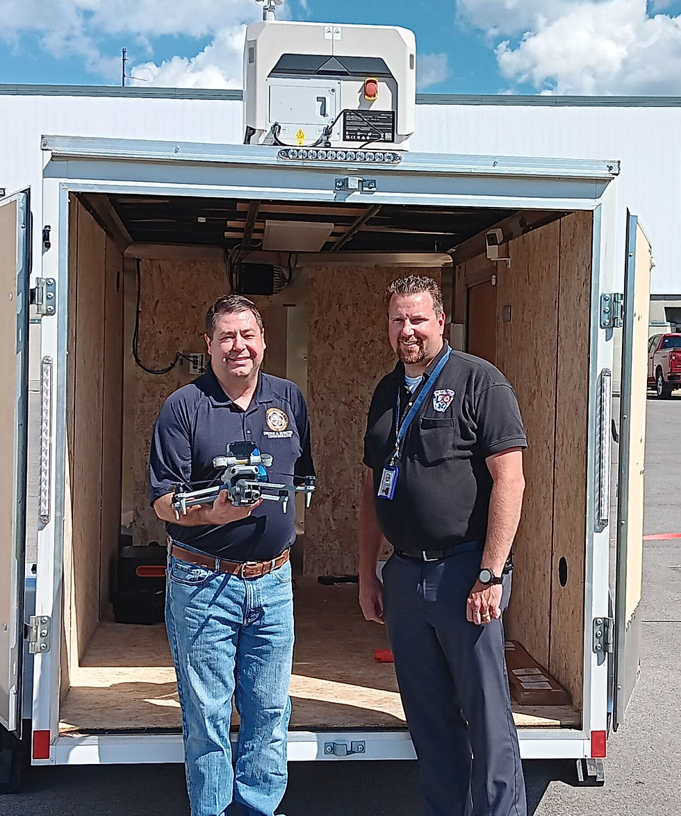
We're not talking about some futuristic concept here. Right now, public safety agencies are already operating drones for search and rescue, medical deliveries, disaster assessment, and tactical support. The problem? These operations happen in isolation, creating what experts call "airspace situational blindness."
A proper COAP integration pulls together:
Low-altitude radar and sensor networks
UAS flight and operator data in real-time
Weather conditions and geofencing boundaries
Command and dispatch system feeds
Airspace restrictions and temporary flight zones
Emergency helicopter and medical transport tracking
Imagine the warehouse fire scenario again, but this time everyone can see the complete aerial picture: where the police drone is conducting reconnaissance, the flight path of incoming medical helicopters, weather conditions affecting visibility, and temporary flight restrictions protecting the operation.
That's not just coordination. That's transformation.
Four Reasons Public Safety Can't Afford to Wait
1. Situational Awareness Across All Domains (Because Reality Isn't Flat)
Enhanced situational awareness is perhaps the most important benefit of a partnership-driven COAP. By integrating data streams and expertise from various partners, the system creates a richer, more detailed operational picture.
When you're managing an incident, you can't afford to think in two dimensions anymore. Real-time visibility of all aerial activity (both cooperative aircraft broadcasting their positions and non-cooperative threats that radar picks up) becomes part of your unified command structure. Ground operations inform air operations, and vice versa.
2. Faster, Safer Drone Operations (Without the Guesswork)
Here's a statistic that should concern every public safety leader: most agencies operating drones today do so without knowing what other aircraft are in their operational area. That's not just inefficient. It's dangerous.
COAP enables coordinated flight operations for search and rescue, disaster relief, medical deliveries, and tactical support. More importantly, it dramatically reduces the risk of midair conflicts and eliminates the communication failures that have plagued multi-agency responses.
3. Inter-agency Emergency Response

Coordination That Actually Works
Different groups of first responders rarely use the same technologies to the point that they can't even communicate during crisis incidents. This communication breakdown isn't just theoretical. During the tragic Sandy Hook mass shooting, over a dozen local, state, and federal agencies responded to the scene. However, they faced significant challenges due to the use of different communication tools.
A COAP provides shared access among police, fire, EMS, emergency management, and state partners through a unified interface. Instead of operating in silos, agencies build trust and collaboration through shared data. When agencies share mapping software, they can communicate using precise grid references that both parties understand, enabling them to coordinate response efforts with pinpoint accuracy.
4. Data-Driven Decision Making (Because Gut Instincts Only Go So Far)
Historical and live data support predictive analytics, risk modeling, and flight planning. When you can analyze patterns (where incidents occur, how weather affects response times, which flight paths work best for different scenarios), you are not just reacting to emergencies; you're anticipating them.
Learning from What Already Works (And What Doesn't)
The roots of this innovative tool can be traced back to U.S. military special ops forces, who invented a mapping technique called Gridded Reference Graphics (GRGs) to navigate uncharted terrains. The civilian world has been catching up, and the lessons from successful COP implementations offer a roadmap:
Stakeholder buy-in drives everything. Leadership support and user training determine success more than technology features. If your chiefs don't believe in it, your line personnel won't use it.
Integration beats innovation. Systems that consolidate data into one interface outperform stand-alone solutions. The fanciest drone in the world is useless if its data doesn't connect to your incident command system.
Visualization translates complexity. Map-based dashboards transform complex sensor data into actionable insight.
Policy and governance ensure consistency. Clear use protocols prevent the "wild west" scenarios that undermine system adoption and accountability.
Building the "Single Pane of Glass" for Airspace
What does COAP success actually require? Three foundational elements:
Interoperability Across Agencies and Platforms
Your system needs to talk to everyone else's system, period. No exceptions, no workarounds.
FAA-Accepted Surveillance Networks and Sensor Fusion
This isn't just about having good technology. It's about having technology that meets federal aviation standards and integrates multiple sensor types into coherent intelligence.
Scalable, Cloud-Based Dashboards for Local to Federal Visibility
Your solution needs to work for a small-town police department and scale up to state-level emergency management operations.
A key advantage of a partnership-driven COP is its inherent scalability and flexibility. Such systems are designed to evolve, accommodating new technologies and expanding capabilities as needed. The end state? A unified, trusted, real-time view of the sky for every responder who needs it, when they need it.
Seeing the Whole Picture, Protecting the Whole Community
Critical incident mapping is more than a technological advancement; it's a commitment to public safety. The same principle applies to airspace awareness. As low-altitude operations become routine for public safety, the agencies that achieve a true Common Operating Air Picture will define the future of emergency response.
Think about where we are headed: delivery drones, air taxis, automated emergency response aircraft, expanded medical helicopter operations. The sky above our communities is becoming as complex as the streets below.
A COAP doesn't just turn complex airspace data into clear operational awareness. It empowers responders to act decisively in three dimensions instead of two. When seconds count and lives hang in the balance, that extra dimension of situational awareness isn't just nice to have.
It's essential.
As airspace becomes a new layer of public safety, the agencies that achieve a common operating air picture will define the future of emergency response.


Comments