

Two Skies, One Network
- NUAIR®

- Apr 16
- 7 min read
How NUAIR's Airspace Infrastructure Closes the Gap Between Advanced Air Mobility and BVLOS Drone Operations.
I. The False Divide
Advanced Air Mobility (AAM) and beyond-visual-line-of-sight (BVLOS) drone operations are typically discussed as separate conversations in the aviation industry. AAM attracts the headlines: air taxis, cargo eVTOLs, urban skyways. BVLOS carries the regulatory weight: waivers, remote ID, Part 108 rulemaking. Each industry has had different stakeholders, different timelines, and different trade press. Until recently, they even had different homes inside the FAA itself.
In January 2026, the FAA announced its largest organizational overhaul in agency history, creating a dedicated Office of Advanced Aviation Technologies: the first time AAM, UAS, and BVLOS operations were placed under a single top-level office. The fact that this was treated as major news signals exactly how entrenched the separation had been. The siloed industry conversations were not just a perception problem. They were baked into the regulatory architecture.
That separation is now being corrected at the agency level. But the infrastructure required to actually bridge these two worlds operationally has been taking shape in Central New York for years.
Strip both AAM and BVLOS drone operations down to their operational core and you find the same unsolved problem: how do you safely manage aircraft you cannot see, at scale, in shared airspace?
The infrastructure required to answer that question is not two things. It is one.
II. The Shared Obstacle
At the operational level, AAM and BVLOS operations share a single fundamental obstacle: regulation has yet to fully trust the underlying technology. Until that changes, the same two challenges hinder both sectors:
Real-time situational awareness beyond the line of sight of any single operator.
Reliable, low-latency data infrastructure to maintain safe operations around other aircraft.
And both are blocked from scale without weather intelligence, communications redundancy, and shared airspace protocols.
All trace back to the same root: a shared dependency on infrastructure that does not yet exist at scale. The industry has recognized this. Major aviation stakeholders across AOPA, EAA, ALPA, and NBAA have broadly agreed on the position that BVLOS operations and AAM integration require the same foundational infrastructure, and that a scalable regulatory framework is preferable to a patchwork of waivers. This is not a fringe position. It is an early indicator of where the entire industry is converging.
The question is not whether that infrastructure needs to exist.
III. Infrastructure – The Missing Link
NUAIR has been building it for years. The infrastructure supporting low-altitude operations now spans 1,900 square miles of FAA-accepted airspace coverage across Central New York — designed not for a single use case, but for the full operational spectrum of uncrewed and advanced air operations in shared national airspace. That distinction matters. Infrastructure built to accommodate one mission type in one geography is a demonstration. Infrastructure architected to be replicated, extended, and shared across operators, agencies, and regions is an industry enabler. What NUAIR has built is the latter. The operational examples below do not define the ceiling of what this infrastructure can support. They define the model for how it scales.
When NUAIR received the first FAA Letter of Acceptance for a privately-operated airspace network, it marked more than a decade of work to build something the industry had never seen at this scale. But the real accomplishment was not the milestone flight. It was building the preparation framework that makes any flight repeatable — and any region replicable. That repeatability is precisely what AAM and scalable BVLOS require. It is also what makes this infrastructure transferable: the same architecture, regulatory relationships, and operational protocols that validated flight in Central New York are the foundation for standing up equivalent capability elsewhere.

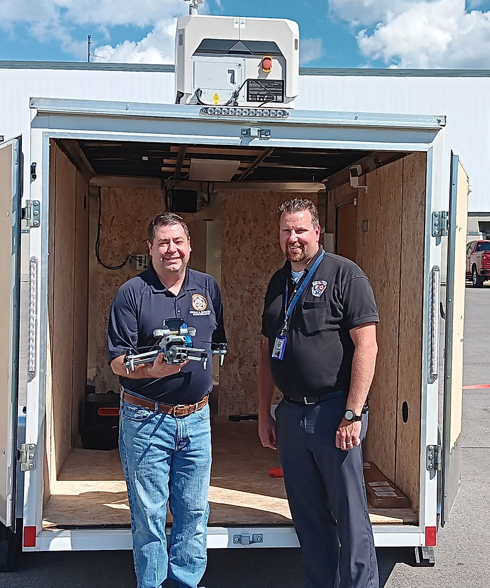
When Oswego County needed to expand their airspace coverage to provide comprehensive public safety service across their jurisdiction. They became the first Drone as a First Responder program in the country to integrate radar with an E-911-operated drone network at the county level. Scalability was the immediate barrier. At more than $1 million to own and operate independently, the county faced a hard operational ceiling. By leveraging NUAIR’s FAA-accepted network instead, Oswego expanded their coverage 50x overnight — without building or maintaining the infrastructure themselves. Docking stations are now positioned along Oneida Lake’s north shore, covering a 79.8-square-mile body of water served by seven agencies across five counties, with pre-positioned drones launching autonomously without an operator ever traveling to the scene. Critically, NUAIR’s infrastructure delivers a capability that goes beyond coverage expansion: by satisfying the FAA’s airspace monitoring requirements, it removes the shielded operations flight ceiling of 200 feet that would otherwise constrain public safety users. Agencies operating on NUAIR’s network can fly BVLOS at the full 400-foot AGL ceiling — meaningfully extending sensor reach, response versatility, and operational effectiveness in ways that a standalone county program simply cannot achieve. This is not a research program. It is the replication model for operational public safety infrastructure, running today.

When the 174th Attack Wing of the New York Air National Guard flew an MQ-9 Reaper on NUAIR's surveillance network at Syracuse Hancock International Airport, it validated something that reaches beyond any single sector. The same sensor fusion and real-time domain awareness architecture supporting commercial BVLOS and AAM integration is also the architecture national security demands. The system integrates multiple sensor types, tracks both cooperative and non-cooperative aircraft, and delivers a unified operating picture across military and civilian airspace simultaneously. The fact that an infrastructure layer built for commercial UAS integration can satisfy military-grade airspace requirements is not a coincidence. It is the measure of how broadly this infrastructure was designed to operate — and how many growth vectors it opens.
Different missions. One infrastructure layer. The FAA’s acceptance of that infrastructure is not just a credential. It is the operational foundation these sectors are building toward — and the scalable base from which the next region, the next agency, and the next operator can launch.
IV. The NYPA Project
NUAIR has a long-standing history of working to enable NY State Agencies and has spent many years advising, training, and supporting the New York Power Authority’s drone and robotics team. From waivers to remote installations, component validation and night training, NYPA’s UAS program is one of the most advanced in the country.
A key recent example of this is the installation and successful maiden test flights of four Skydio X10 Dock systems at NUAIR’s facility in Central New York. This hive represents a scalability proof of concept as the dock architecture removes the operator from individual flight cycles, enabling launch, landing, charging, and data offload to run autonomously.
The path from the current approved waiver ratio toward one-to-many operations mirrors precisely the scalability challenge that AAM faces: how do you go from a managed demonstration to repeatable, high-frequency operations without proportional increases in human oversight?
The answer, in both cases, is infrastructure. NUAIR's FAA-accepted airspace awareness coverage provides the operational and regulatory scaffolding necessary to support waiver approval. Every autonomous flight logged within that surveillance environment generates the safety and performance data that future waiver expansion petitions are built on. For NYPA, this accelerates the path from pilot program to enterprise deployment across more than 1,550 miles of transmission assets. For the broader industry, it demonstrates that purpose-built airspace infrastructure is not something that UAS and AAM operators must build themselves. It is one they can leverage.
V. Central New York as a Recognized Convergence Hub
The federal selection of the Port Authority of New York and New Jersey for the eVTOL Integration Pilot Program (eIPP) is also not a coincidence of geography. It is a direct consequence of the infrastructure NUAIR and the Syracuse Regional Airport Authority have been building for years. Central New York is not a passive test environment. It is an active proving ground where AAM operators, BVLOS practitioners, regulators, and infrastructure providers are working through the hardest integration problems the industry faces, in real airspace, with real stakes.
In this program, Upstate New York has been identified as a launch location for cargo and medical logistics missions. That work will be built directly on NUAIR's FAA-accepted airspace infrastructure. Syracuse Hancock International Airport is already the only commercial airport in North America with fully integrated remotely piloted aircraft operating on its airfield alongside commercial traffic, with more than 6,000 BVLOS flights already completed in that environment.
The eIPP does not ask Central New York to become something it is not. It asks it to do more of what it already does.
What makes Central New York's position replicable is not only the geography, though few regions can match its combination of urban and rural terrain, four-season weather extremes, and an FAA-designated drone corridor spanning land and water. It is that NUAIR has built the scalable infrastructure to operationalize all of it, and that infrastructure is available to any operator, agency, or region ready to put it to work.

VI. What Integration Actually Requires
The industry tends to underestimate the non-technical requirements for real airspace integration. Technology is the visible part. The harder work is everything underneath.
Regulatory navigation is the first. FAA waivers, eIPP participation, and multi-jurisdictional coordination require institutional relationships and operational credibility that take years to establish. They cannot be contracted or accelerated on a project timeline.
Multi-stakeholder execution is the second. The NYPA project required months of coordinated preparation across multiple organizations with different objectives, timelines, and risk tolerances. That coordination capability does not come with the hardware.
Repeatability is the third. One-off demonstrations do not move the needle on regulatory frameworks. What the FAA needs, and what operators need, is a consistent, documented operational record built on trusted infrastructure. Single flights prove concepts. Thousands of flights build the evidentiary record that changes rules.
Third-party neutrality is the fourth. Neither AAM nor BVLOS operators want to depend on a competitor's infrastructure. NUAIR's position as a nonprofit research alliance makes it the trusted neutral layer both sectors need. It is the only entity in this ecosystem that all stakeholders can build on without building a dependency on a commercial competitor.
VII. What Comes Next
FAA Part 108 BVLOS rulemaking, when finalized, will be an incredibly consequential regulatory development for both sectors simultaneously. It will establish the framework under which routine, scalable, beyond-line-of-sight operations can occur without individual waivers for every operator. That framework will require the kind of airspace awareness infrastructure NUAIR has already built and validated.
For AAM, the same rulemaking trajectory matters. eVTOL operations at meaningful scale require the same low-altitude awareness, traffic management, and data infrastructure that BVLOS drone programs have been pressure-testing for years. The operational data NUAIR is generating today, through programs including the NYPA project and the eIPP ecosystem, is part of the evidence base that shapes those frameworks.
New York is not waiting for the rules to be written before building the infrastructure that will make them work. That is the posture that positions a region, and the organizations operating within it, to define what comes next rather than adapt to it.
About NUAIR
NUAIR is a nonprofit driving economic development through innovations in UAS and Advanced Air Mobility to safely integrate into the national airspace. With support from Empire State Development and the State of New York, NUAIR operates the Center of Excellence for Advanced Air Mobility at Syracuse Hancock International Airport in Syracuse, New York and manages 1,900 square miles of FAA-approved surveillance-as-a-service infrastructure — one of the largest low-altitude airspace management systems in the United States. Delivering demonstrated public return on investment of nearly 7:1, NUAIR is proud to be the catalyst to not only New York’s airspace innovation, but mobility advancement around the globe.


Comments